A tiller autopilot for sailboats

Designed in Finland, from years of sailing experience

A smart steering system that holds your boat precisely on course. Built on modern GNSS and sensor fusion technology.

Read more

Designed for sailors

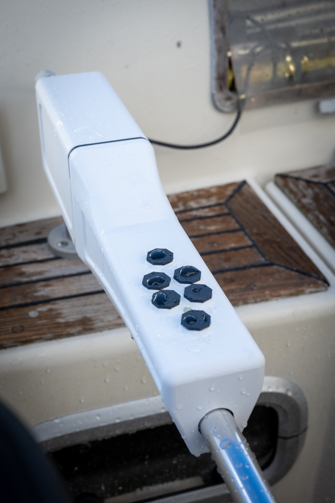
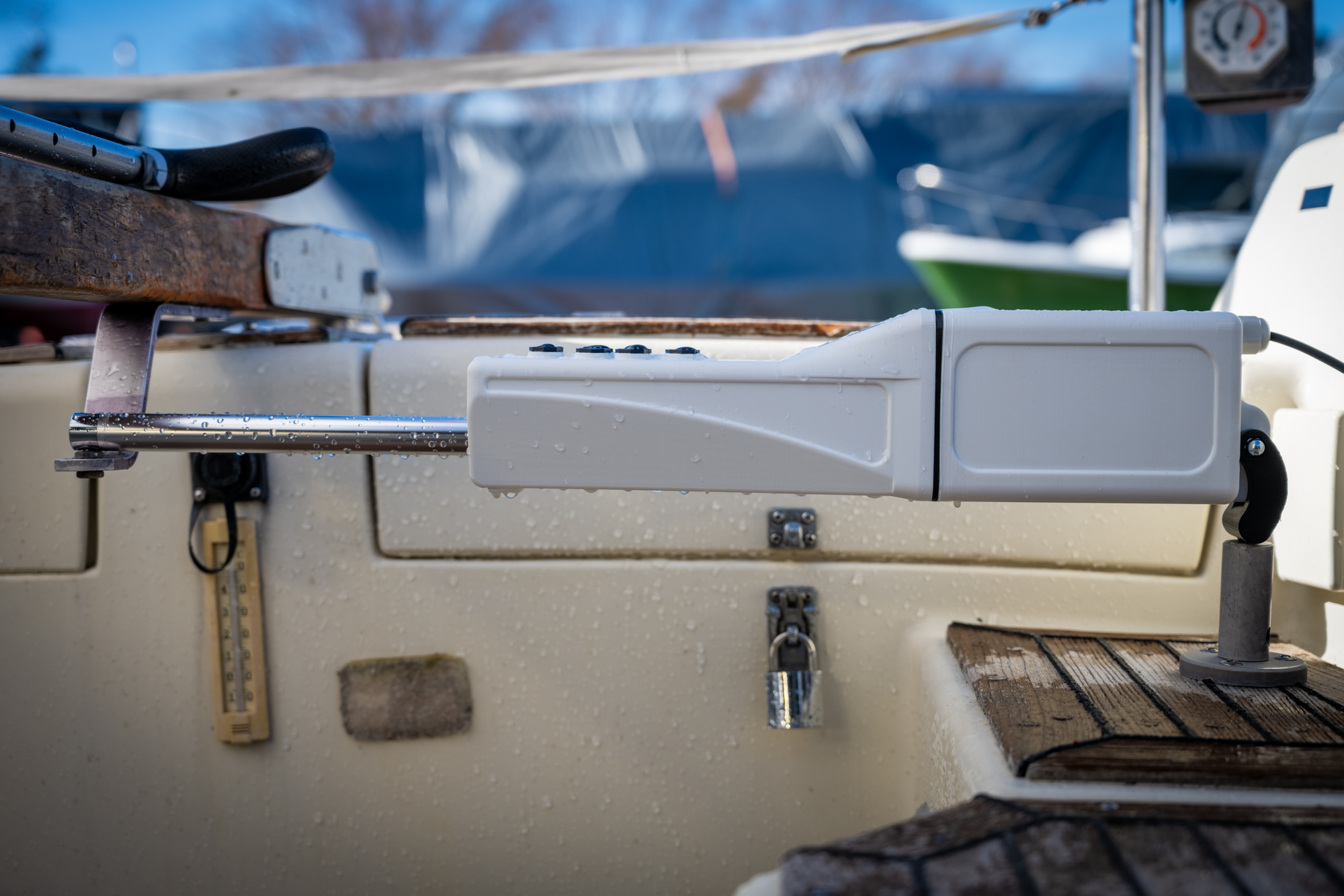
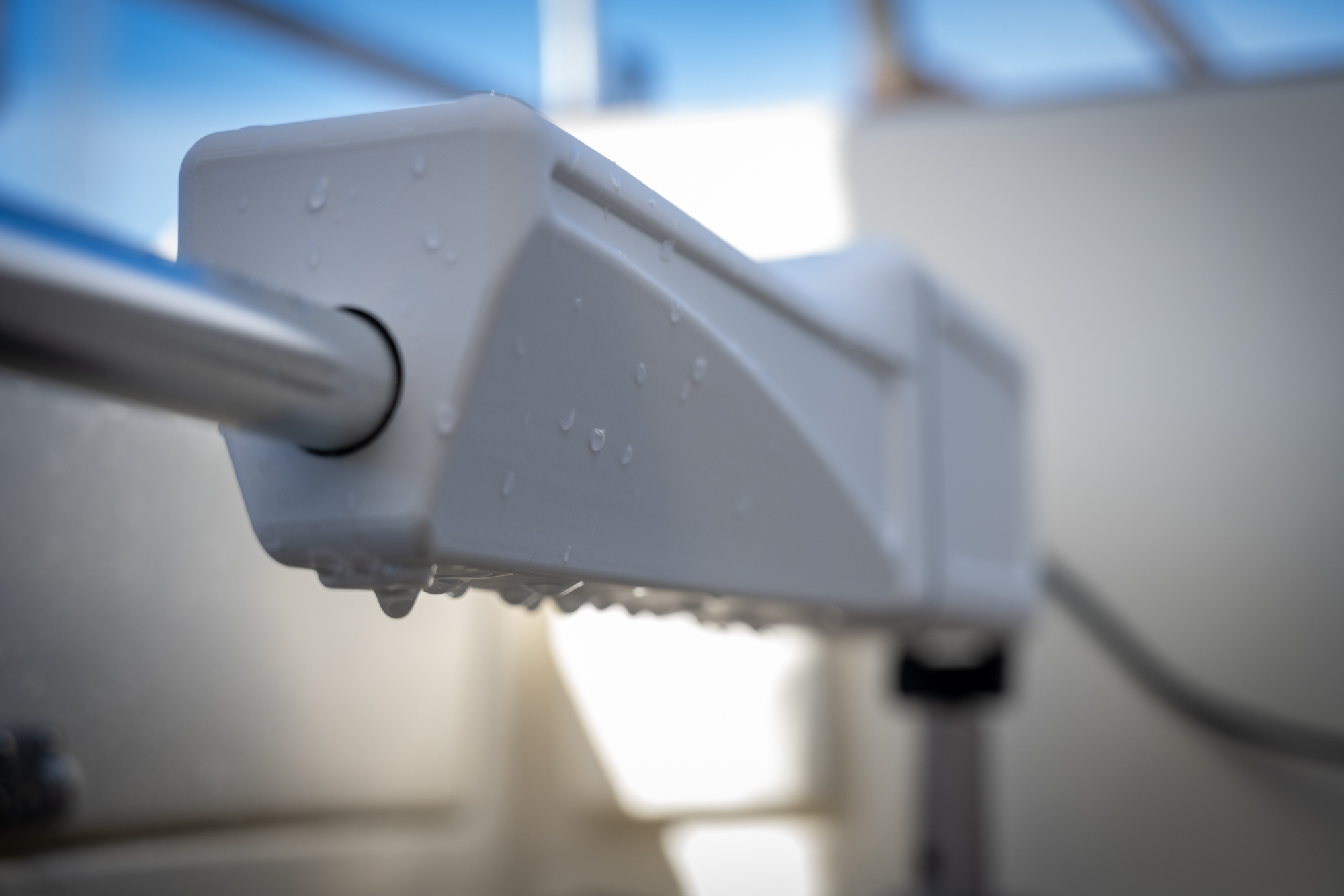
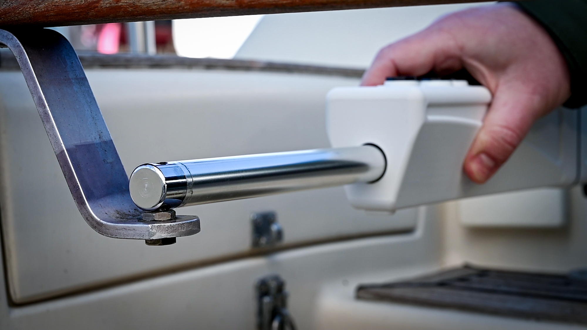
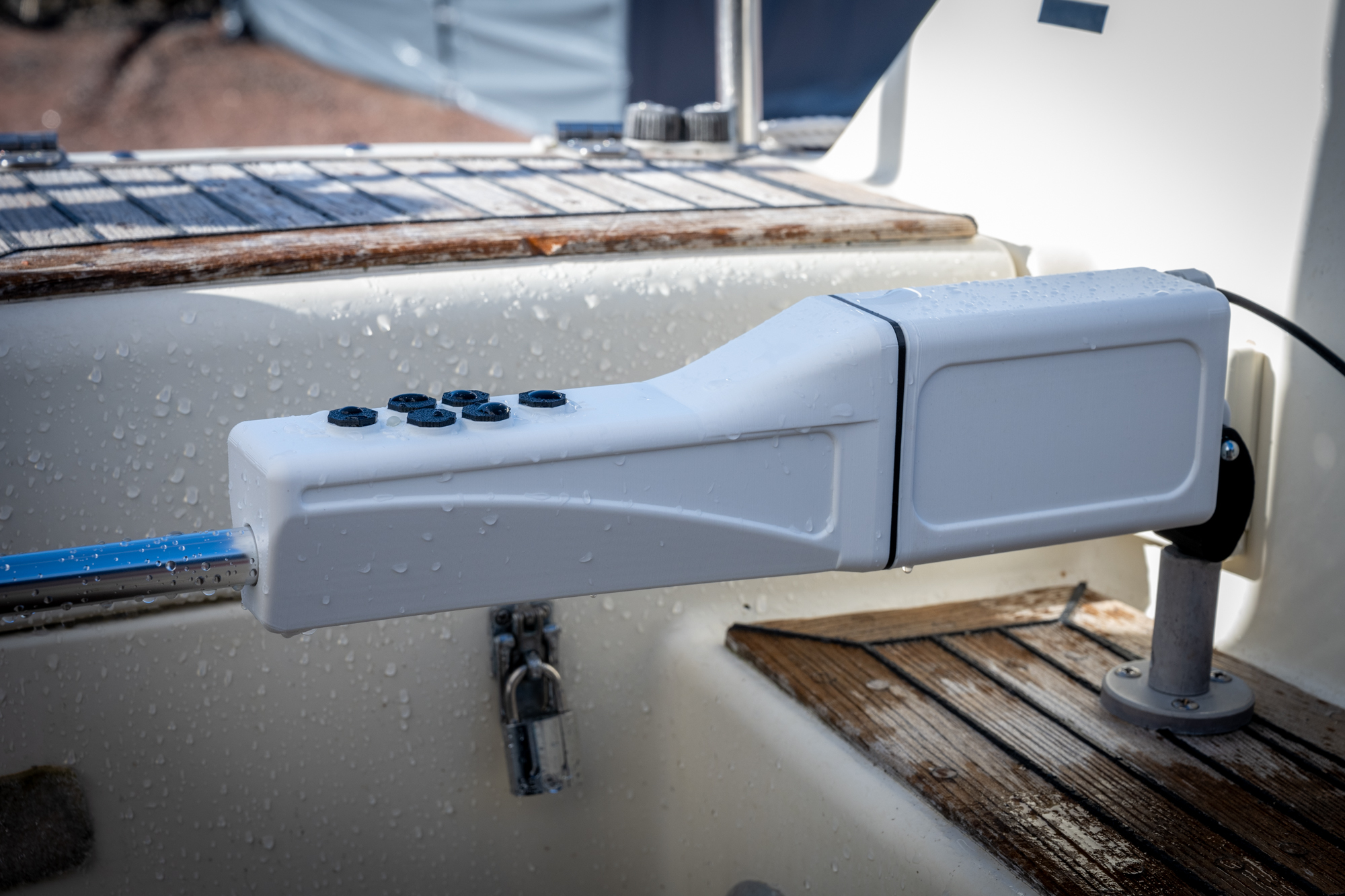
Pinnapilotti is a compact autopilot that solves the problems of traditional electronic-compass autopilots. Installation is simple: mount the unit, plug in the 12-volt connector, done.

GNSS + sensor fusion: satellite positioning and an IMU sensor, working at any latitude.

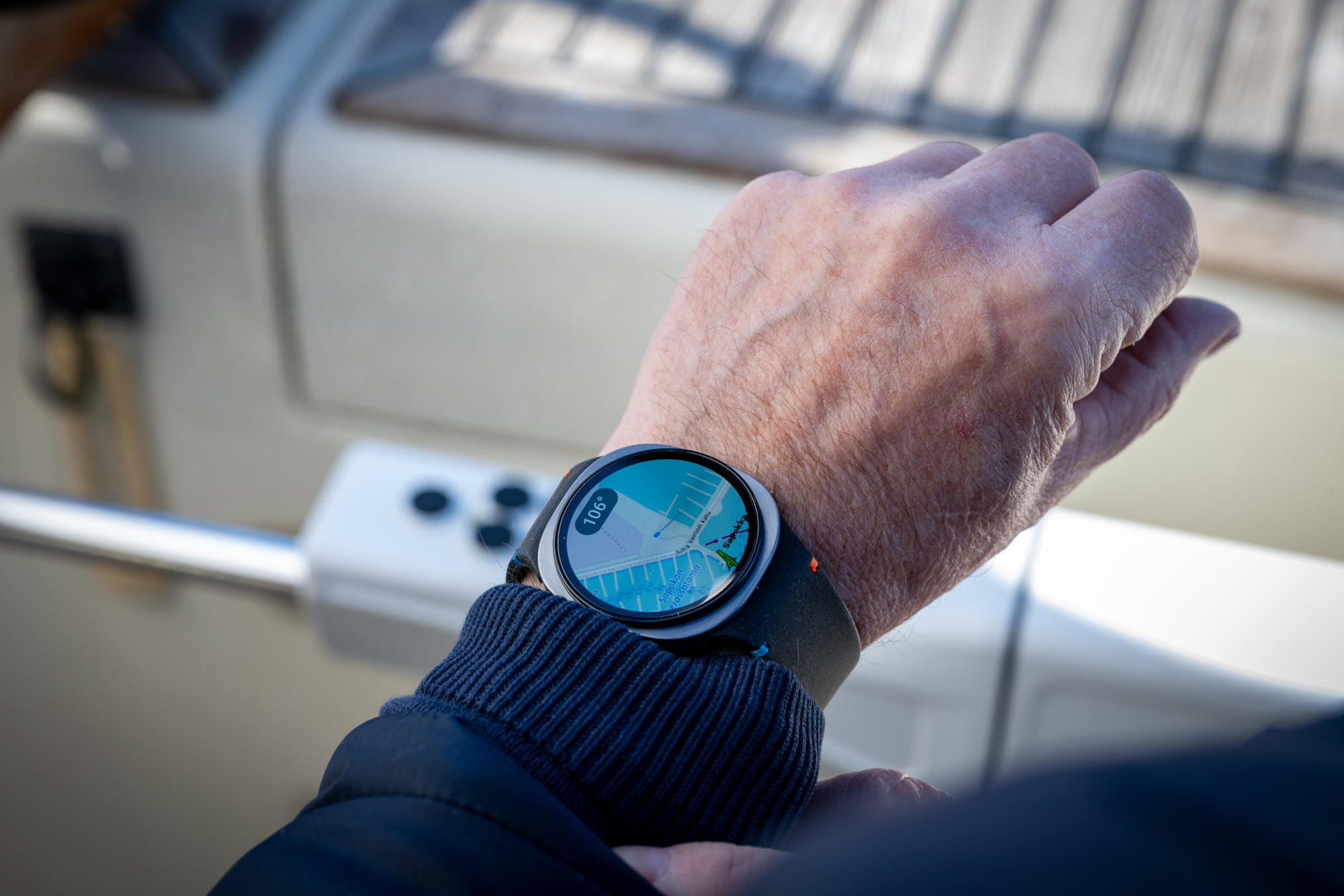
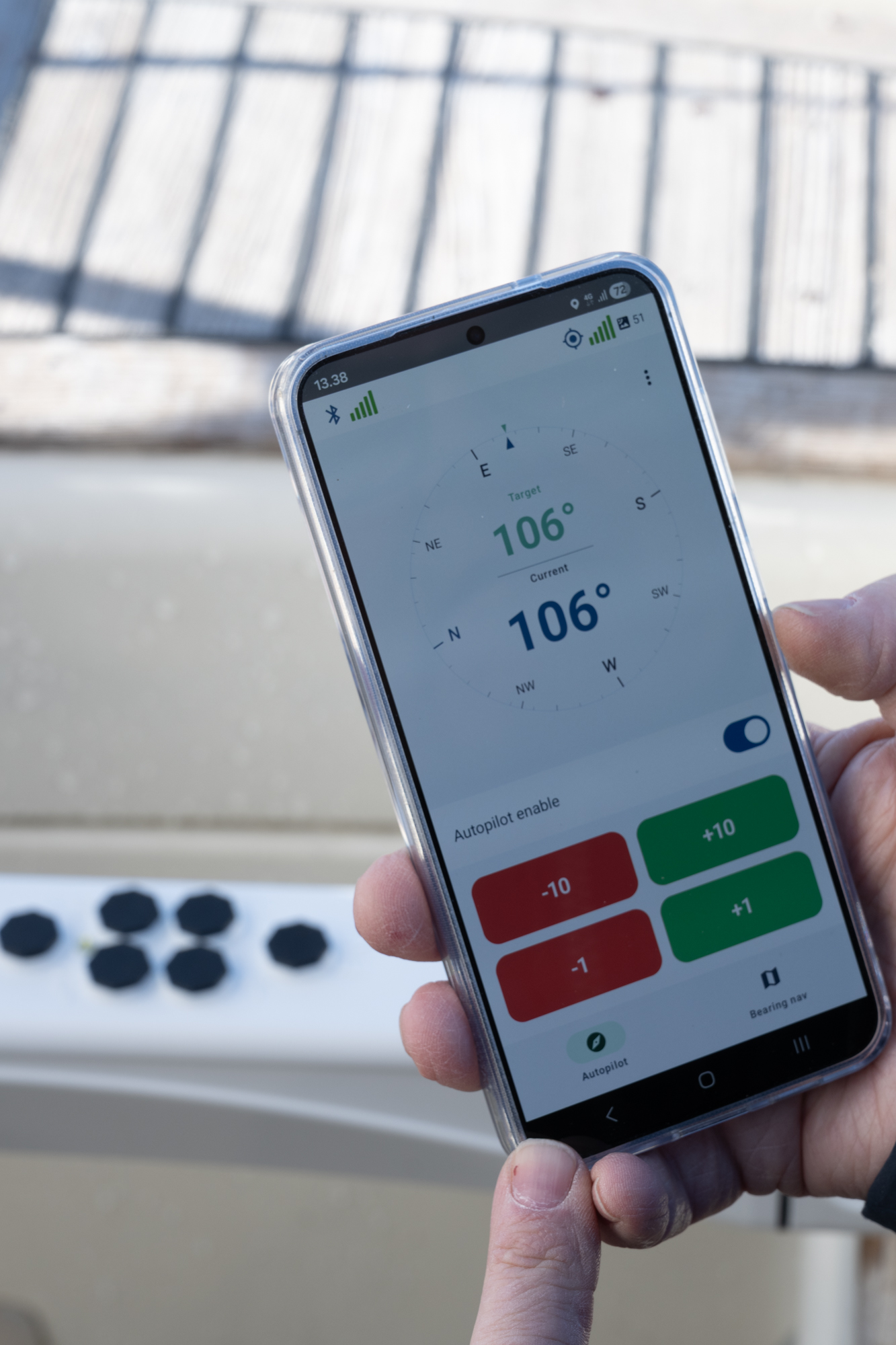
Android app: control your course from your phone or a WearOS smartwatch, and plan routes on the map with waypoints.

iOS and Apple Watch support coming.

Demo videos

Filmed by customers – the autopilot in action

Finnish Lakeland
Airisto, in heavy rain

Who's behind it

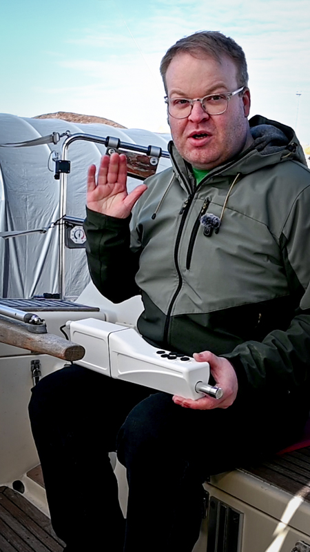
Hi, I'm Riku

Riku

I'm a software engineer from Nokia, Finland, and I spent my childhood sailing on the Gulf of Finland. It all started when my father's tiller autopilot lost its heading yet again — a familiar problem for many sailors, caused by an electronic compass that's easily disturbed by nearby magnetic fields.

There was no sufficiently modern and competitive solution on the market, so I started building my own. I founded RH-Craft Oy in February 2026 to bring the product forward.

How it works

Modern technology, simple to use

The autopilot combines GNSS satellite positioning with an IMU inertial sensor to determine heading. Sensor fusion significantly reduces heading noise compared to GPS alone — and there's no electronic-compass interference to put up with anymore.

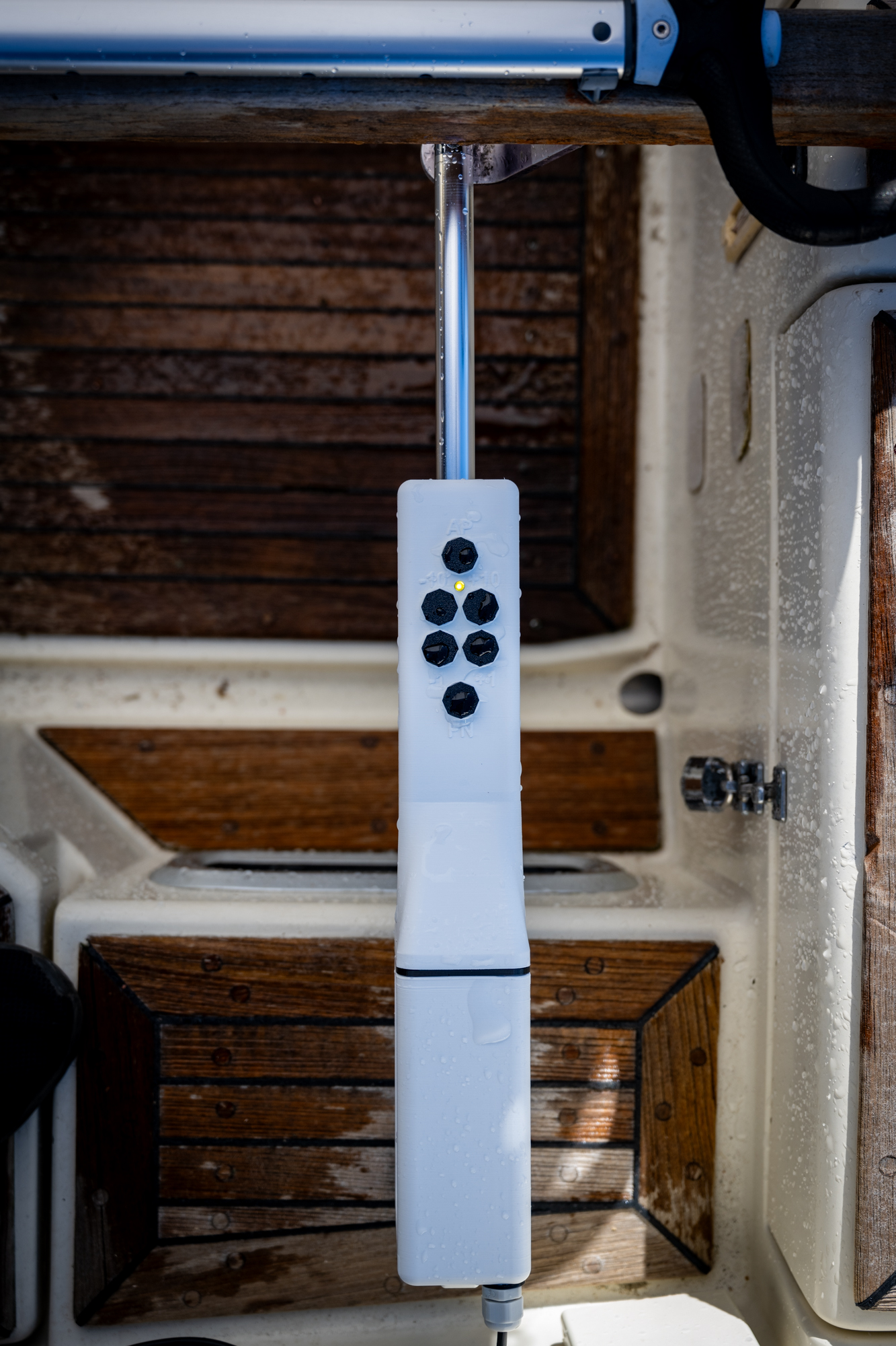
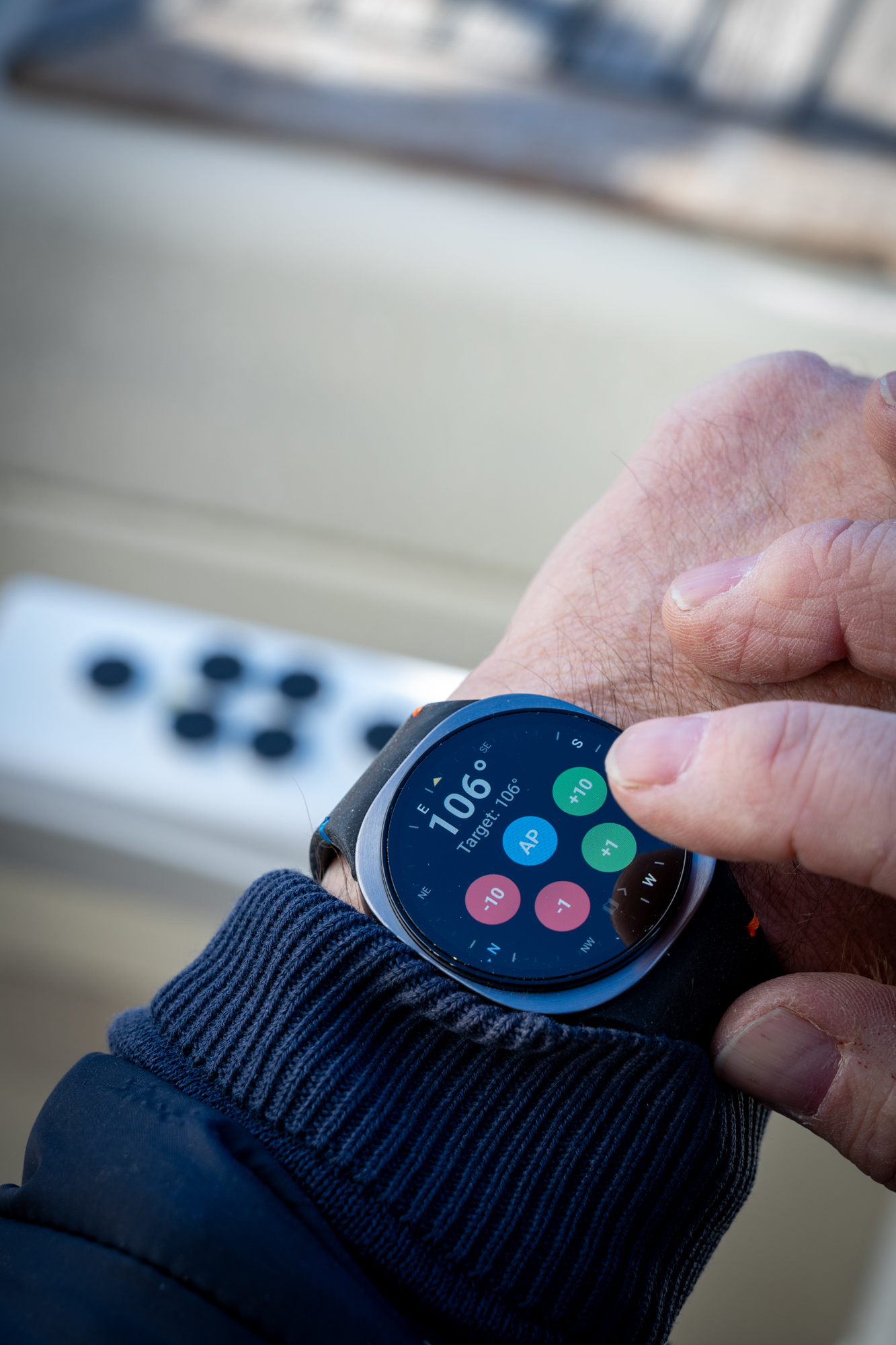
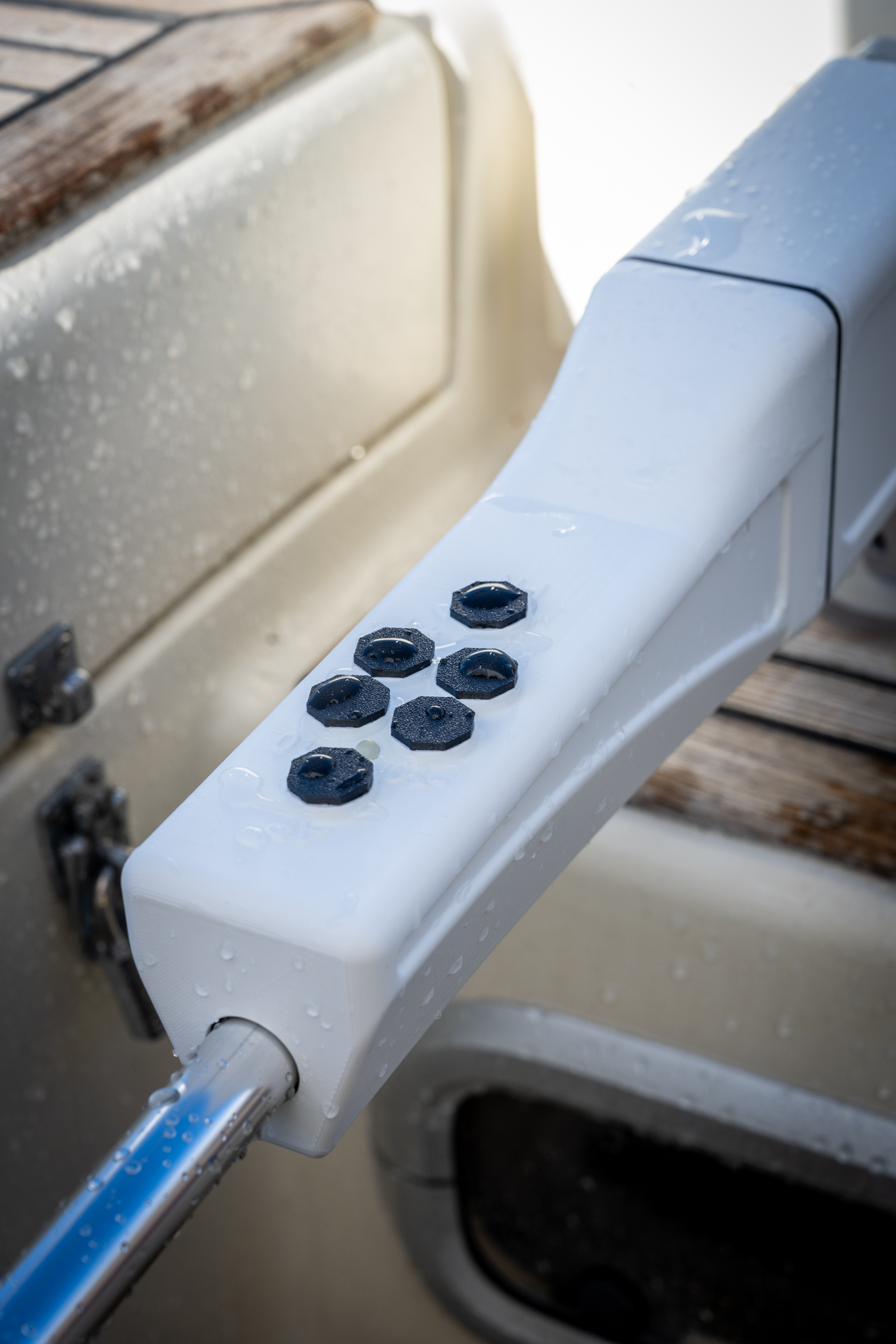
Control it with six physical buttons, the Android phone app, or a WearOS smartwatch. Pick whichever suits you — or use all of them. The autopilot never collects or transmits your location data anywhere.
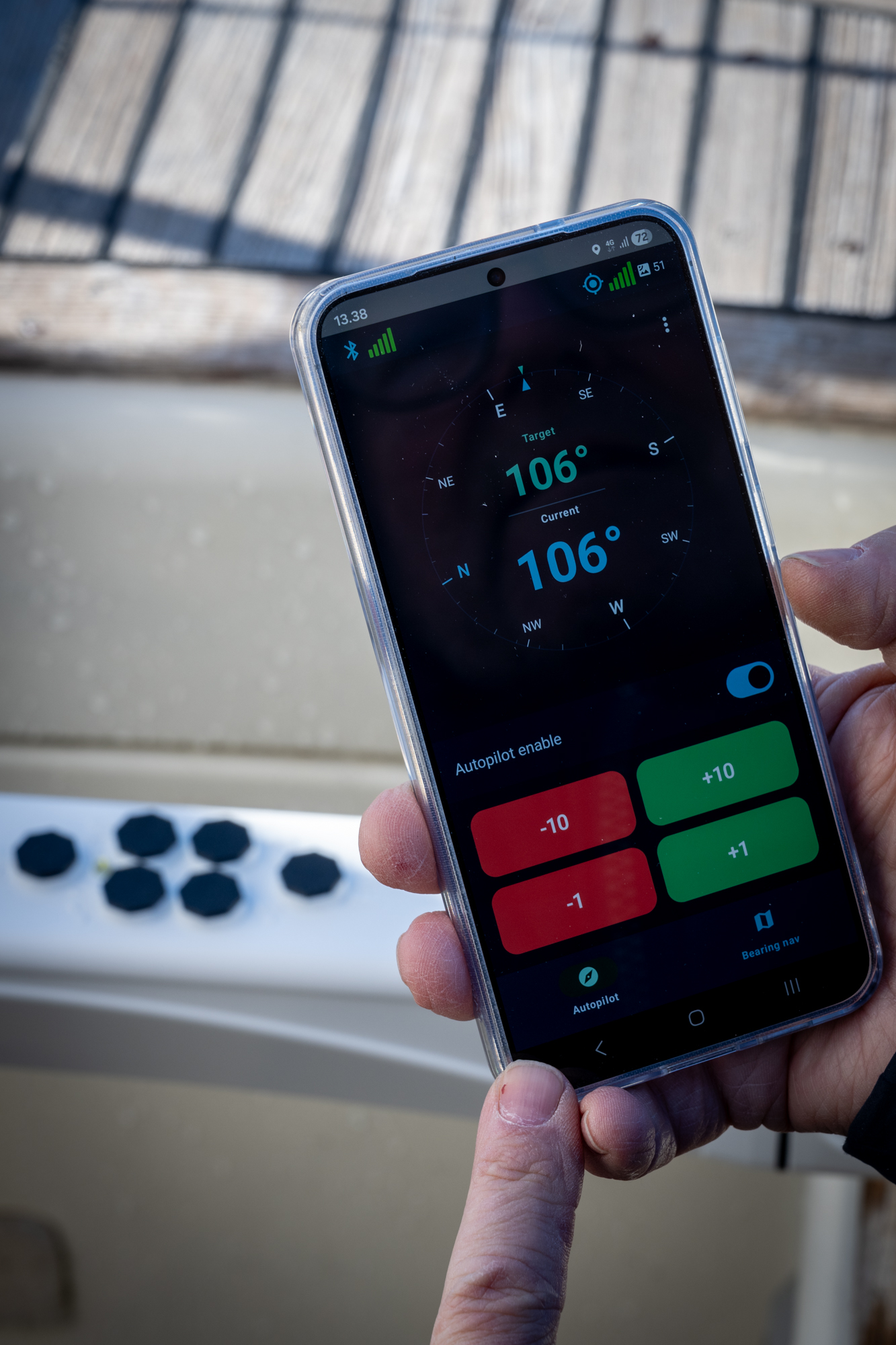
Android app on a phone
Android app

WearOS smartwatch

WearOS smartwatch

Waypoint navigation: plan a route in the Android app by placing waypoints on the map. The autopilot follows the route automatically from one point to the next and keeps the boat on course. The smartwatch map view lets you follow your sailing in real time — waypoints are set and managed in the phone app.
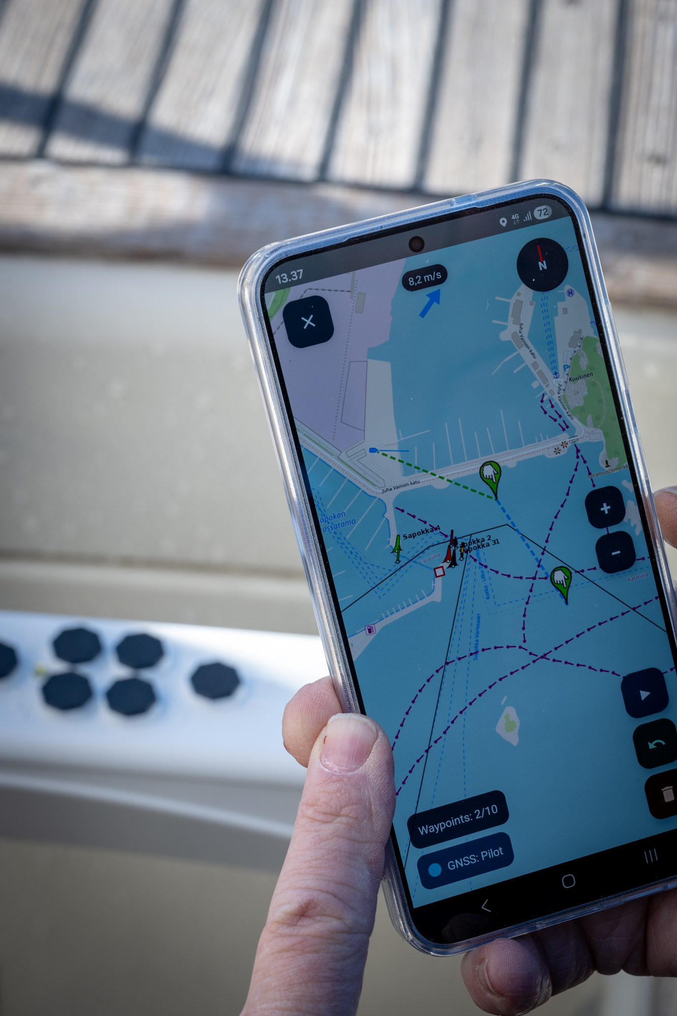
Android app showing waypoints on the map

Waypoints in the Android app

Map view on a WearOS smartwatch

Map view on the smartwatch

Good to know: since heading is determined from satellites and the inertial sensor rather than an electronic compass, start-up needs a moment of motion (around 2 knots initial speed) — after that the boat can slow right down.

What about GNSS interference? The autopilot has been tested across the Gulf of Finland during the 2025 and 2026 sailing seasons, with more than a dozen units in use, and GNSS interference hasn't been an issue in testing. Because the unit is mounted low, close to the waterline, it has a short radio horizon — this limits the reach of distant jamming and spoofing signals compared to a receiver mounted higher up. The unit also uses a modern, multi-channel GNSS receiver that supports several satellite systems. That said, the autopilot is not immune to GNSS jamming or spoofing, and responsibility for navigation always rests with the captain — it's always worth keeping an eye on the situation at sea.
Features

Modern technology

🛰️

GNSS + IMU

Satellite positioning and an IMU sensor. No electronic-compass calibration required. Works as well in northern latitudes as in the south.

📱

Phone & watch control

Fully wireless Bluetooth connection. Control the autopilot from your Android phone or smartwatch, from anywhere on the boat.

🔌

Compatible

Fits the most common autopilot mounts. Switching from an old autopilot is quick and easy.

A device that improves over time

Wireless firmware updates (OTA) bring new features straight to your device without a service visit.

Technical details

Specifications

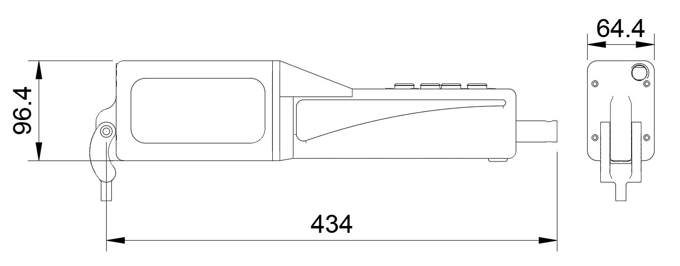
Pinnapilotti dimensions

Physical

  • Target boats: Tiller-steered sailboats under 12 m
  • Housing: 3D-printed UV-resistant plastic
  • Weight: 1.8 kg
  • Water resistance: IPX5

Electrical

  • Supply voltage: 12 VDC
  • Connectivity: Bluetooth 5.0
  • Updates: Wireless (OTA)

GNSS receiver

  • Channels: 92
  • Constellations: GPS, GLONASS, Galileo, BeiDou, SBAS
  • Accuracy: ±0.3°

Note: Technical specifications may change during product development.

Interested? Leave your details

Register your interest and we'll let you know when Pinnapilotti is available to buy.

Privacy notice (in Finnish)